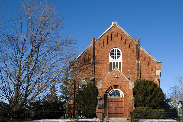
Glanbrook
Hamilton Mountain and Stoney Creek Mountain are north of Glanbrook. The boundary lies along Highway 20 in Stoney Creek and just south of Highway 20 in Hamilton.
The eastern boundary with the Niagara Region is along Westbrook Road. The southern boundary with Haldimand-Norfolk is along Haldibrook Road. The western boundary is Ancaster is along Glancaster Road.
Glanbrook was formed from when the former townships of Binbrook and Glanford were combined.
The area contains the communities of Mount Hope, North Glanford, Glanford Station, North Seneca, Hannon, Binbrook, Tyneside, Blackheath and Woodburn.
Hamilton John C. Munro Airport is located in Mount Hope in the west side of Glanbrook.

Chippewa Road Stone Cottage
This Ontario Cottage style house on Chippewa Road West in Glanbrook was built in 1882.

Bells School S S No 4 Glanford
Bell's School was built in 1874 and destroyed in 1963.

Log School S S No 4 Glanford
The Log School S S No 4 Glanford was located across from Bell's School. It was replaced in 1874 after burning down.


